Inertial navigation systems are an excellent option besides GPS for providing navigation details for whatever vehicle you are using. However, this is because it is a self-contained system. Using gyroscopes and accelerometers, INS can track a vehicle’s position as it moves.
When an INS navigation tool is initially made, an inertial simulator tests and calibrates it so that it can relay the exact position of a vehicle with ease.
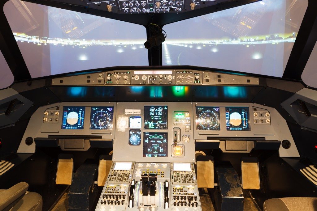
These days, INS navigation tools are often used in aircraft and ships. INS is actually the main reason submarines can operate beneath the waves for months without surfacing. Here’s a brief guide on how it works so that you can better understand its operations:
Essential Components
An INS is a self-contained system that does not require any external signals to operate. There are five components necessary to do its job.
1. Accelerometers
An INS has three linear accelerometers inside its main measurement unit. They are the heart of the system since they measure how fast a vehicle is moving, along with any changes in heading. The reason there are three accelerometers is so that movement in all directions is detected by the system.
2. Gyroscopes
These are the other half of the measurement unit. They are used to measure changes in direction and they help maintain the orientation of the stabilized platform. There are several types of gyroscopes available. These days, the usual types of gyroscope used are ring laser gyros or acoustic gyros, which use vibrating quartz technology to measure directional changes.
3. Stabilized Platform
The accelerometers and gyroscopes can be found inside a stabilized platform. The platform ensures that the INS is isolated from the movement of the ship or aircraft. Usually, this is done by using three gimbals so that the gyroscope will be the only one to be measured. Nowadays, there are strap-down platforms that place the measurement unit directly to the body of the vehicle.
4. Integrators
These translate the data from accelerometers and gyroscopes to input that the navigational computer will be able to read. Usually, this is done by amplifying the input signal. To get accurate navigation readings, these integrators must be very accurate.
5. Computer

This is where the data is calculated so that it becomes navigational information. An INS is usually supplied with the longitude and latitude of the vehicle’s starting point. The progress of the vehicle is then tracked in its internal systems, and then the results are given as output.
Inertial navigation systems have become very refined over the years. Today, you can expect to find them in aircraft, being used in conjunction with its GPS navigation tool. The GPS provides a set of coordinates to the INS so that the pilot can be notified on the exact position of the plane almost immediately.
In case the GPS fails, the INS can stand in for it until arrival at the destination. Overall, INS is one of the core navigation tools for today’s aircraft technology. More innovations are on the line, considering how fast the current technology evolves.